
Geospatial systems built for real-world decisions.
Our work spans land administration, environmental management, Earth observation, public services and international spatial data infrastructure.
From complex data to operational public services.
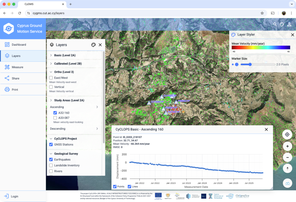
Cyprus Ground Motion Service - CyGMS
National monitoring and visualisation of ground deformation using satellite InSAR products, GNSS validation and modern WebGIS technologies.
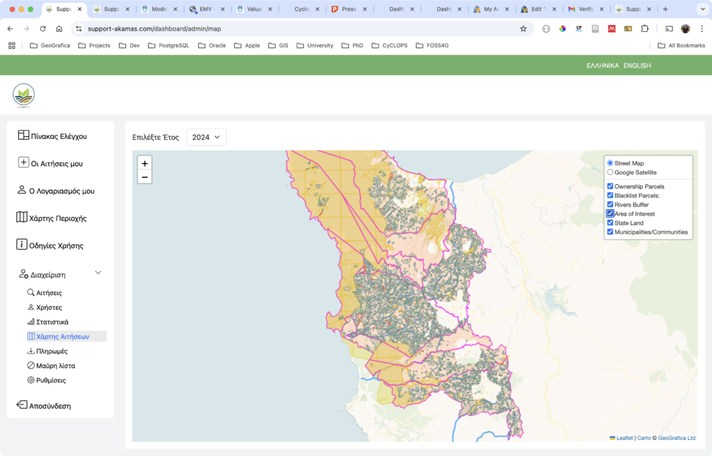
Support Akamas - Land Ownership Subsidy Platform
Digital application and spatial assessment supporting landowners within the Akamas Local Plan.
Experience across sectors and regions.
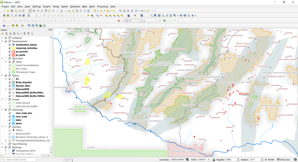 Environment
Cyprus Department of Environment - GeoSDI
Spatial data infrastructure, workflow improvement and alignment with INSPIRE and high-value data requirements.
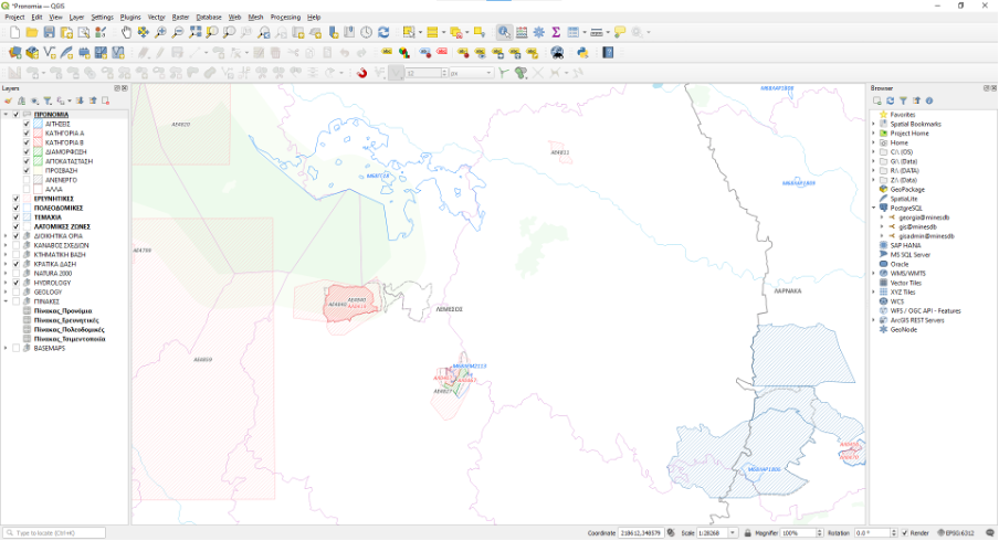 Mining
Cyprus Mines and Quarries Service - GeoSDI
Spatial data infrastructure, workflow improvement and alignment with INSPIRE and high-value data requirements.
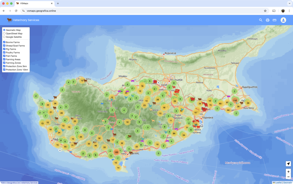 Animal health
Cyprus Veterinary Services - GeoSDI
Database design, data migration, mapping templates, analysis workflows, user training and operational support.
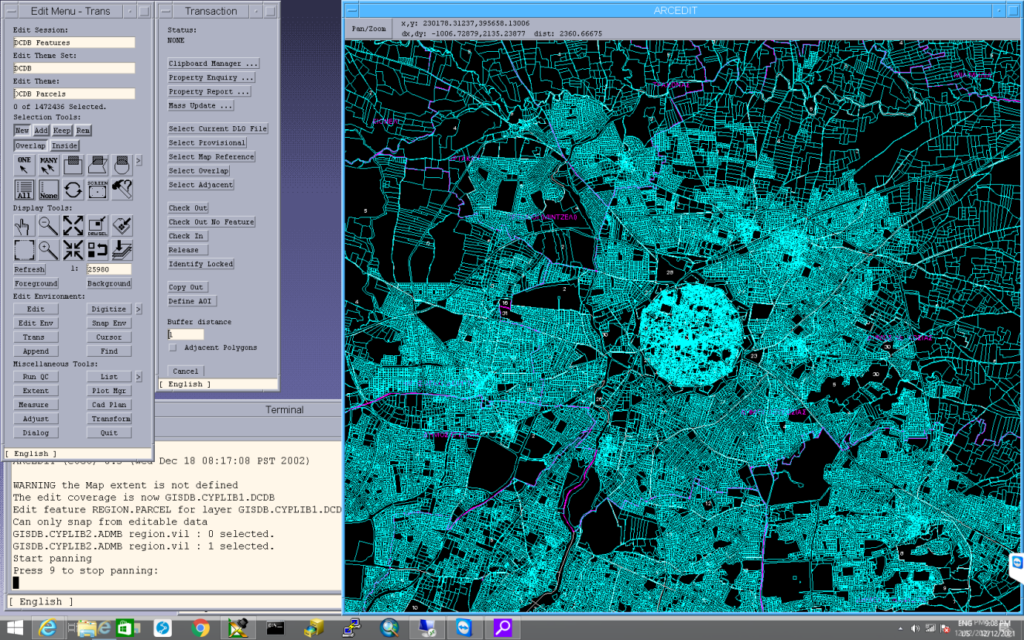
Cyprus Integrated Land Information System - CILIS
Digital cadastral system supporting survey, registration and valuation operations for Cyprus.
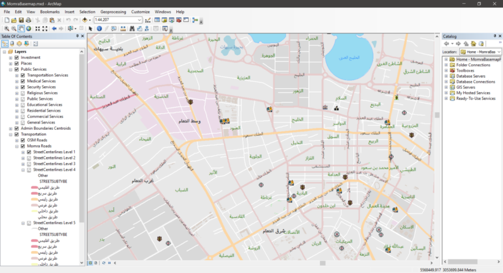 Regional SDI
Saudi Arabia unified base-map standards
Design of spatial data infrastructure, standards and system architecture for a national unified base map.
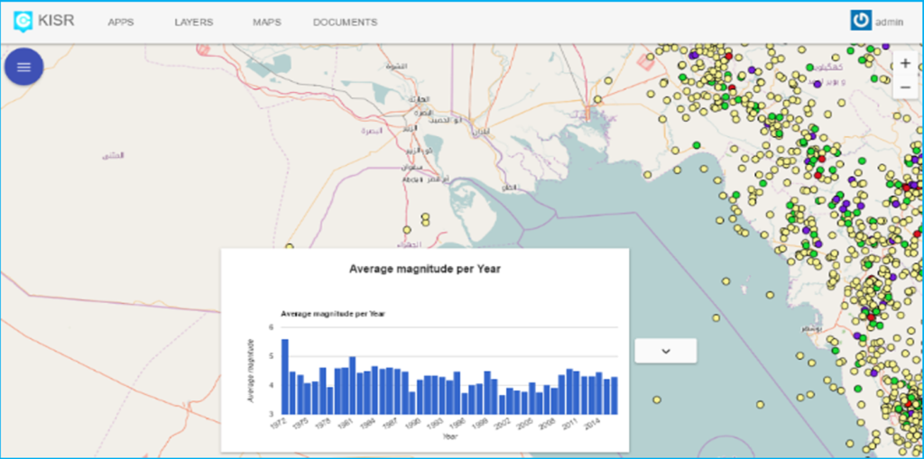 Environmental information
Kuwait integrated environmental network
Migration to PostGIS and delivery of a central portal serving atmosphere, land, marine, freshwater, biodiversity and waste domains.
 Risk management
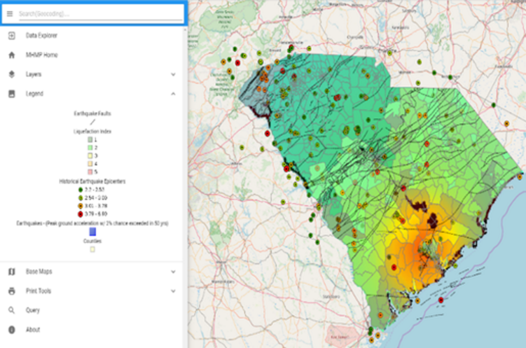
Multi-hazard mitigation platform
Integrated tools and data supporting emergency-management planning, risk communication and mitigation workflows.
Specialist knowledge where geography matters.
Planning a geospatial project?
Let’s discuss your organisation’s data, workflows and intended outcomes.