Geospatial Data Infrastructure and Standards for Saudi Arabia
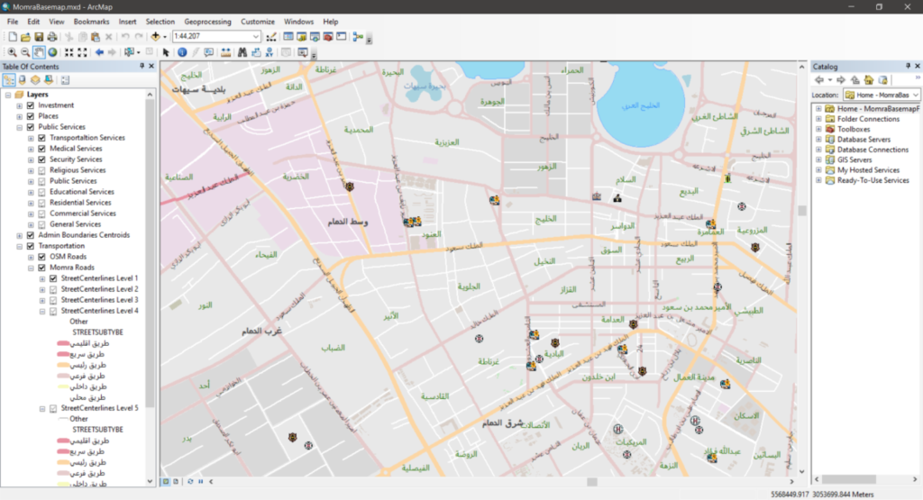
The scope of the project was the design of geospatial data infrastructure and standards for a unified base map and design of system architecture for Saudi Arabia. The GIS technology used in the project was based on ESRI ArcGIS Server.
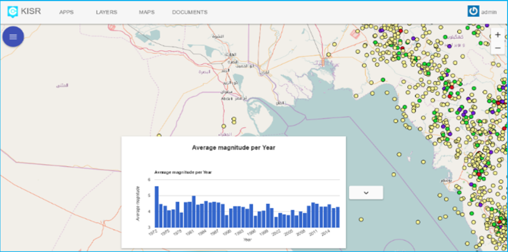
Kuwait Integrated Environmental Information Network for the Kuwait Institute for Scientific Research (KISR).
The main objective of this project was to migrate the KIEIN GIS database from ArcGIS geodatabase to PostGIS in preparation for the upcoming Kuwait National disaster management Center. The implementation was based on an innovative integration of QGIS and ArcGIS sharing the same database. In addition, a central portal was implemented to manage and view the data. Data for the six major domains, the atmosphere and climate change, the land, the coastal and marine environment, freshwater, biodiversity and waste management, have been published through a spatial portal. A collection of applications have also been developed for viewing and managing data.
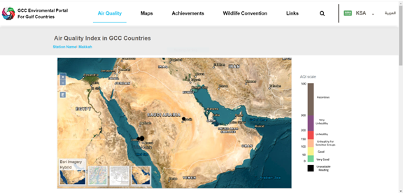
Environmental portal for the Gulf Cooperation Council countries
The portal provides an entry point for all Gulf citizens and researchers to participate in environmental issues and build public awareness, and each country of the Gulf Cooperation Council has its own sub-portal and can provide their own data for air quality, maps, achievements, and other environmental data.
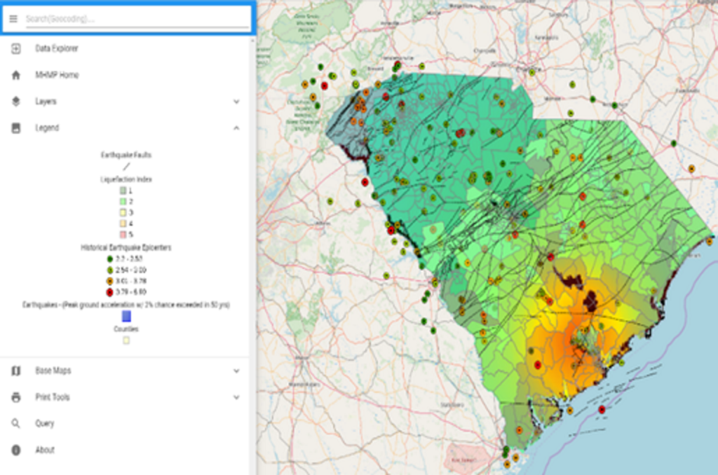
Emergency Management Division and Multi Hazard Mitigation Platform for South Carolina.
A platform to provide South Carolina Department of Emergency Management personnel with access to all tools and data needed to mitigate disasters that will enable them to:
- Track and fulfil requirements of each state’s plans,
- Use and implement models for risk analysis and assessment,
- Effectively communicate risk information with local government emergency management departments and other stakeholders,
- Promote effective mitigation and risk management practices with the wider community in the state,
- Reduce the time and costs associated with future data updating.
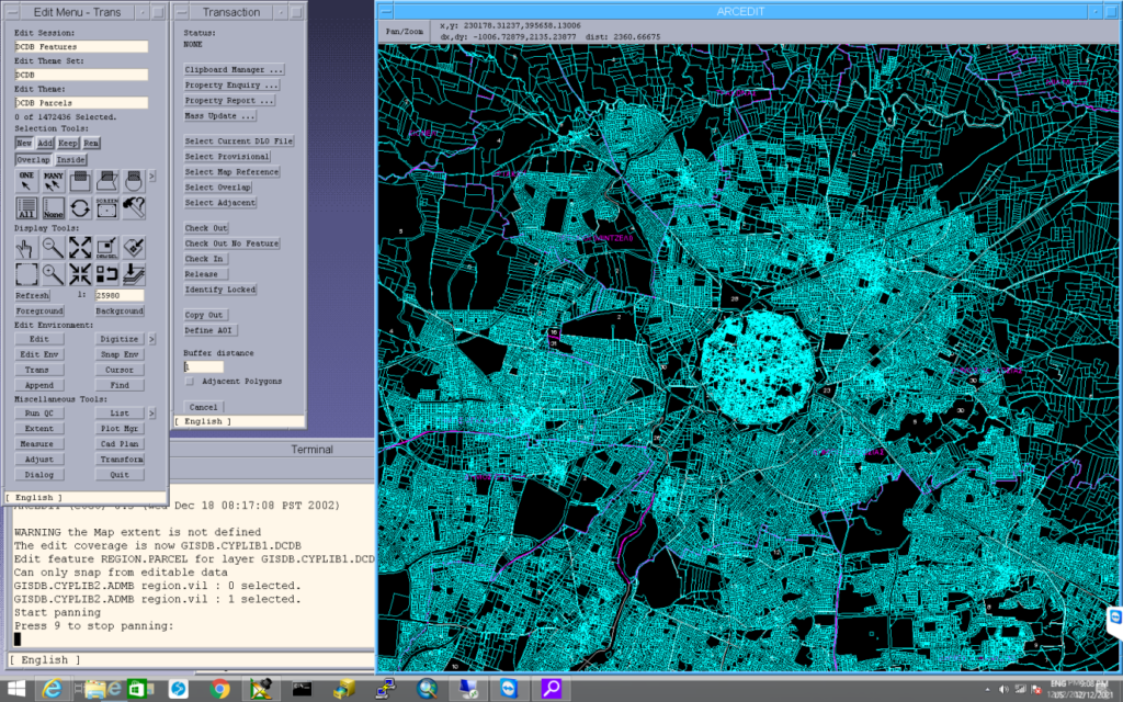
Computerized Integrated Land Information System (CILIS) for the Department of Lands and Surveys, Cyprus.
The GIS subsystem (DIMS) of the Computerized Integrated Land Information System (CILIS) project enables the digitization, conversion and transformation of the existing cadastral plans into a seamless digital cadastral database, to be used for maintaining and updating cadastral, survey and topographic data. The GIS database and application facilitates the Legal and Fiscal components of the system with the location and spatial characteristics of the immovable property, for registration and valuation purposes.
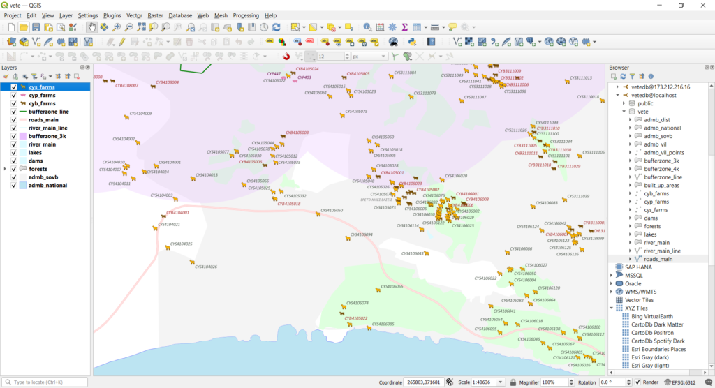
Veterinary Services Department Cyprus. GIS consulting services
GIS consulting services for the cartographic needs of the Veterinary Services Department of Cyprus, including spatial database design, data conversion, transformation and data migration. Design templates, styling and maps for data visualization and processing, fulfilling the requirements of business processes. Provide training and consulting to the end users for executing the various business processes.
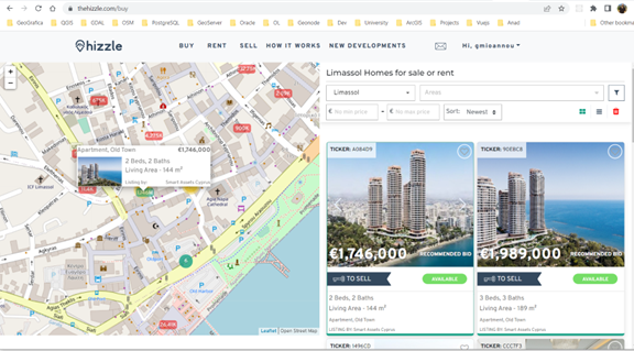
The Hizzle – The most innovative real estate platform redefining the search and sell experience
We’ve all been down that road, spent countless hours going through different websites and property viewings trying to negotiate the best deal. The regrets that might have occurred when we simply didn’t consider the properties, we first liked because of the budget of course. We built a platform where home seekers and home sellers can communicate in a transparent and trustworthy way. Oh, and it’s totally free! We thought of the home buyers, and we built tools that allow them to trust a process enabling them to take the best decision possible to avoid any regrets. We thought of the home sellers and the real estate professionals and developed a system to exude trust to their clients so they can build up their business. Therefore, we decided to launch Hizzle, where finding the right property has never been easier.
Cyprus Department of Environment
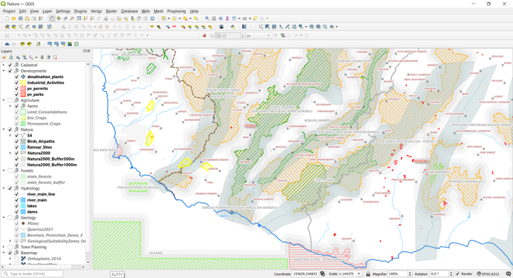
Geospatial data consulting services for the Department of Environment in Cyprus.
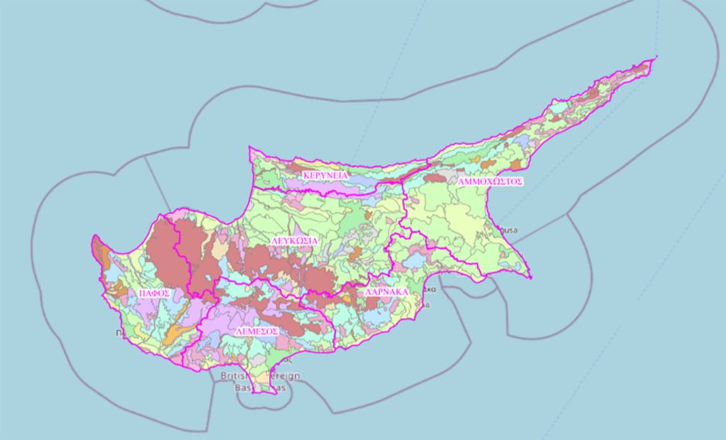
There was a need to harmonize the Department of Environment with the INSPIRE Directive (EE 2007/2) and the Executive Act (Regulation) for high-value data of the European Directive EU 2019/1024 on Open data and the further use of public sector information , as well as due to the internal need to modernize the procedures of the Department of Environment, there was an immediate need to organize, upgrade and modernize the geospatial data and procedures.
Ministry of Agriculture, Rural Development and Environment
Akamas Local Plan – Land Ownership Subsidy
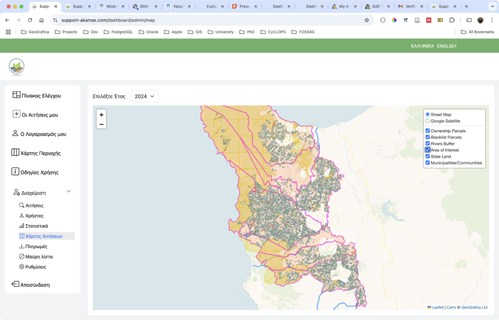
Implementation of the Framework of Measures and Actions to Support the Developmental Activity of the Akamas Communities. Financial support to landowners based on the size of their land, recognizing how their rural properties help protect the local landscape and preserve biodiversity in the area.
The purpose of this measure is to provide financial support to landowners (both legal entities and individuals) within the boundaries of the Akama Local Plan. This support is due to the contribution of their land parcels to the protection of the landscape and the preservation of the area’s biodiversity, which is unique at the national level.
